

Click on image to buy on-line the charts you need for Finland!
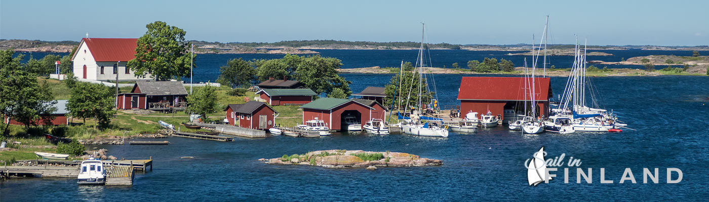
Sailing in Finland is an exercise in navigation and therefore your most important your second most important (a life jacket is the most important) security equipment are up-to-date charts for the Finnish waters where you plan to sail!
The Finnish charts are produced by the Finnish Transport and Communications Agency, Traficom . Traficom produces a number of different types of charts, but the chart folios are best suited for pleasure boating. The chart folios are small – well, midsized – leaflets, 36 cm x 48 cm in size. Each leaflet contains about 30 charts and one or more overview charts of the area. They come as a ringbinder so you just flip thru the charts as you sail along. Check the on-line chart shop to see what the latest chart folios look like! The shop also serves foreign buyers and will deliver world-wide. There are also chart folios for some of the bigger inland lakes, they can be found here.
The foils are identified by letters and are commonly referred to by these letters. Thus I’m mostly using the D-series as I mostly sail in the Archipelago waters. The picture at the end of the post shows the area covered by each folio.
Charts are very easy to come by. Pretty much every marina, gas station and souvenir shop along the coast sells the chart folios. Therefore, if you are unsure about where you want to go in Finland, you can simply get the one chart folio that you need to enter the country (e.g. the C-series if you come from Sweden to the Åland islands) and then buy any other charts along the way as you discover you need them.
If you have friends in Finland and they suggest that they can lend you the charts, you should be thankful but a little vary. There is an incredible amount of changes going on in the water along the Finnish coasts. Of course the islands don’t move (but new underwater rocks are discovered from time to time) but the markings of the fairways do change a lot. With around 19,500 kilometers of charted fairways marked by more than 33,000 aids to navigation (such as lighthouses and buoys), it is now wonder that they might change a bit.
In particular, if you are offered the old style charts that have green overall look, I suggest you kindly refuse and get yourself a fresh set of charts. The green charts have been phased out starting in 2003, so most green charts are more than 15 years old. An eternity in Finnish waters.
An other thing to pay attention to is that charts are mainly used outside. When sailing in Finnish waters, navigation is done in “real time”, in the cockpit. Don’t even think about having someone down below navigating by the chart table, it just won’t work! In Finnish waters, the chart table is mainly just another storage area.
So even though the chart folios have been printed on special paper that has some degree of water resistance, you will need some form of protective cover for the charts when it rains or there is a heavy wind (so the wind will not constantly flip the pages). The folios are sold in a plastic bag, but the bag will crumble rather quickly in use, so you might want to consider getting a special purpose cover for the charts.
As electronic navigation equipment becomes more and more sophisticated, people tend to ignore paper charts. However, in Finland, you are pretty much stuck without charts, so paper charts are a really important backup for the situation that there is a malfunction in your electronic navigation equipment. But we will get back to electronic charts in a later post!

The areas covered by the Finnish chart folios. Click on image for larger version.
Update April 2021: Prices for foils between 49€ and 55€, cheap way to secure your sailing. See the current set of foils and prices here: www.merikartat.fi!