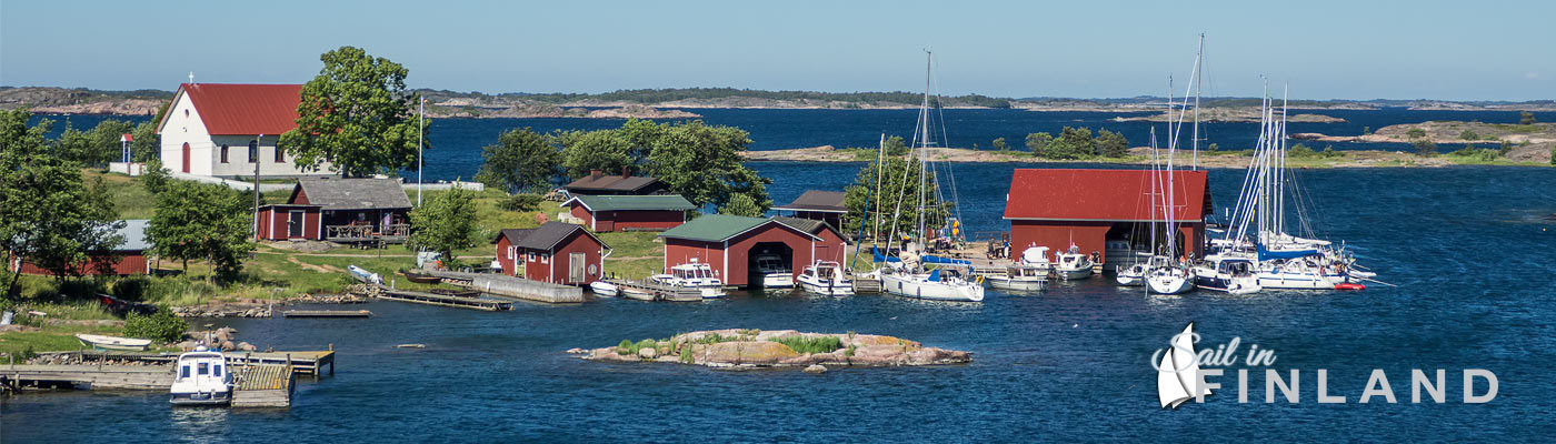

Ferries serving the islands west of Korpo in the Verkan harbor.
Finland has a very well developed system of public transports. The coastal areas, the archipelago islands and the inland lakes can easily be reached by bus, taxi or ferry. Sail in Finland has collected all the information you need on public transport in Finland to help you easily get to and from your dream sailing and boating destination in Finland.
Whether you would like to change crew somewhere along your route, visit relatives and acquaintances or you want to get to some of the bigger cities for shopping or tourism, the information on this page will help you get to where you want to go!
Guide map to public transport in the Finnish archipelago, along the coast and on the major inland lakes.
Map icons courtesy of Nicolas Mollet/CC license
A short guide to public transport in Finland and how to use the Sail in Finland “there and back” guide map.
| Map marker | Transport | Instructions |
| Bus | Matkahuolto, the co-operation organization for Finnish bus companies has developed an interactive map application to help you find a bus that meets your needs. Click on a bus marker close to where you are. In the interactive map, locate your departure and destination location (right click on the map to set your location or enter your address). The application will show you the route (in terms of walking) to your nearest bus stop and then show what bus or buses you need to take. If the search fails (for instance out on an island), this means that the application cannot find a route to the nearest stop. Try to move your location to the mainland or major islands close to your departure and destinations and try again.The main limitation of the interactive maps is that they only cover certain limited regions.If your route begins or ends with long strange walks, then either the starting point or the destination is outside the coverage area of the map. For those area that are not covered by Matkahuolto’s interactive maps, you can use the journey planner for the whole country supplied by the journey planner provided by the Finnish Transport Agency. Unfortunately the map-based user interface of the nationwide planner is really bad. The good thing about the nationwide planner is that it also provides information on the trains. You can find the nationwide journey planner here. | |
| |
City transport | The Helsinki capital region (including the cities of Espoo and Vantaa) has special application for the internal traffic in the cities. For the Helsinki route finder you need to know your address but there are many mobile phone applications that use the same (open data) repository for route information and that use your GPS location to find a route. Check your favorite mobile phone app store (normally found with the keyword “Reittiopas”). |
| |
Taxi | Those areas not covered by the bus services mostly still have good taxi services. Click on a taxi marker on the map close to your location to find a taxi company servicing the region. Taxis are ordered using the phone, in less populated areas pre-order is very much recommended. Ordering a taxi typically costs about 1.50€. The cost for the taxi ride varies but there are upper limits for how much taxis can charge. There is normally a starting fee which is about 5-10€ depending in time of day, and about 2€/km for a full taxi (3-4 persons). Taxi rides are always metered and pretty much every taxi accepts major credit cards for payment (Visa is the norm in Finland, for others, check when you order). If you have special transport needs (such as lots of luggage), mention that when you order. |
| Ferries | There is an extensive ferry service along the southern coast and in the south-west archipelago and on the Åland islands. You ccan check out the archipelago ferry network in detail in this post. Up-to-date information on all ferries has been collected on the site ferry.fi. Unfortunately the site links back to the individual sites of all the ferry providers for schedule information and that information typically is available only in Finnish and Swedish. On this page, to access the ferry information, click on a ferry marker on the map above and then via the “More information” link go to the (Swedish) web page for the route information. On your right you will find links to the complete route maps (ruttkarta in Swedish) and the schedule information (tidtabell in Swedish). Note that the routes in the summer are quite different from the routes in the winter so check the when the schedules apply when you plan your trip. |
Additions or corrections?
If you have any additions that you would like to suggest to the map or if you find some errors, send your suggestions to Sail in Finland via the site’s contact page!